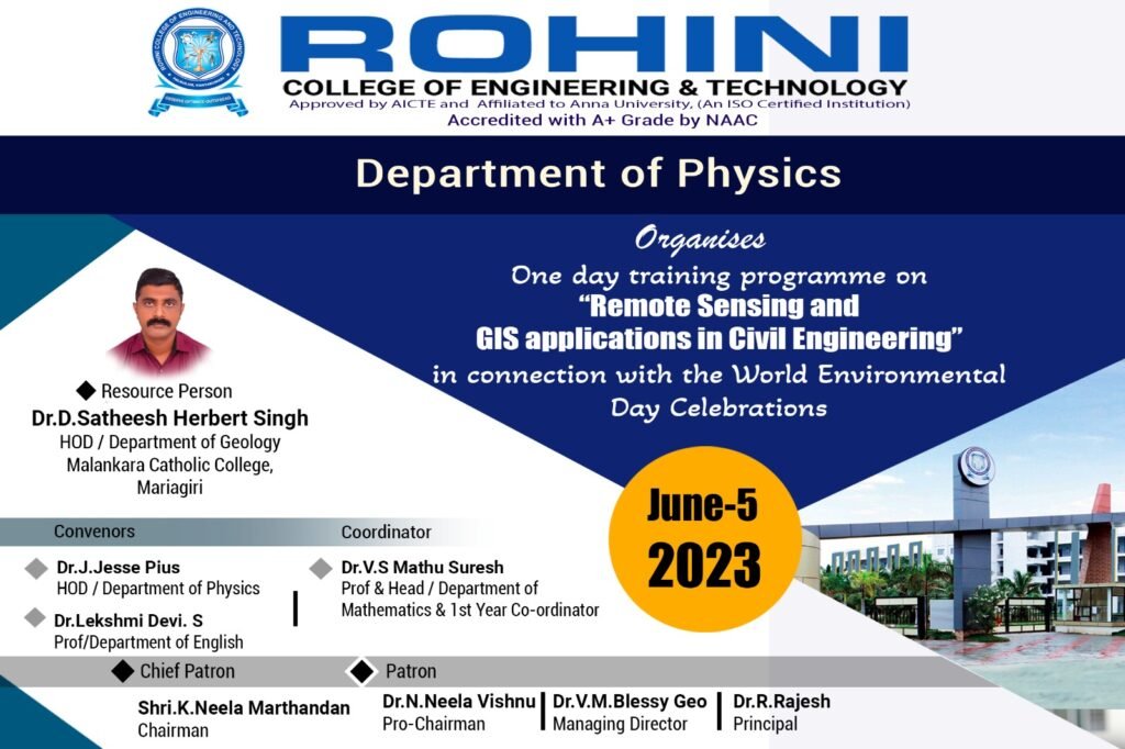
On account of World Environmental Day,One day training programme on” Remote Sensing and GIS Applications in Civil Engineering” organized by the first year Civil Engineering Department on 05.06.’23.
Dr.D.Satheesh Herberg Singh,Head- Dept of Geology,Malankara Catholic College,Mariagiri introduced the students about the state of the art concepts and practices of Remote Sensing and GIS.
It started with the fundamentals of remote sensing and GIS and subsequently advance method wascovered.This knowledge sharing session was raised with few questions like what is remote sensing?What do we measure in this remote sensing or through remote sensing?And what kind of output or data we generate from this remote sensing?
In civil engineering construction and research, remote sensing imagery also plays an important role as the basic data. Therefore, remote sensing technology has shown important support in land utilization, land construction planning, and coverage monitoring.
The programme was conducted successfully. The training programme helped the students of Civil Engineering to get knowledge on basics of research on GIS application. We are thankful to our Management, Principal and First year Coordinator for their support to arrange the programme.